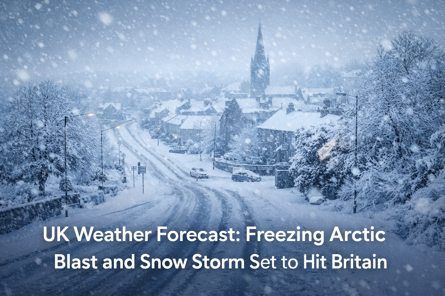
UK Weather Forecast: Freezing Arctic Blast and Snow Storm Set to Hit Britain
Large parts of the United Kingdom are bracing for a freezing Arctic blast that is expected to bring heavy snowfall, bitterly cold temperatures and travel disruption. After recent milder weather, forecasts now point to snow storms across Scotland and northern England as cold air from the Arctic moves southwards over the country.
Forecast for Snow, Ice and Cold Air
Weather models show that a clash between cold Arctic air and moist Atlantic systems will lead to periods of heavy snow and ice over the coming days. Snow depths are forecast to reach up to 30 centimetres in parts of Scotland while northern England could see around 14 or 15 centimetres of snow. Temperatures are likely to drop to around minus six degrees Celsius in some areas.
These conditions come after a period of unsettled weather and follow the impact of Storm Goretti, which caused travel delays, power cuts and amber weather warnings in early January.
Snow Storm Alerts and Weather Warnings
The Met Office has issued weather warnings for snow and ice ahead of this cold snap. In some areas, amber warnings are in force, meaning disruption to transport and daily routines is likely. Blizzard conditions with drifting snow are possible, especially in northern and highland regions. In some mountainous areas, avalanche warnings have also been issued due to deep snow and unstable snowpacks.
Impact on Travel and Daily Life
Heavy snow and freezing conditions can affect roads, railways and airports. Recent cold weather already led to cancellations of football matches and major disruptions to fixtures because snow and icy pitches made travel and play unsafe.
On icy roads and in blizzard conditions, motorists are urged to take extra care. The combination of snow, ice and low temperatures can make surfaces treacherous and increase stopping distances. Public transport providers may adjust services in response to conditions.
Regional Variations in the Snow Forecast
Scotland is expected to see the heaviest snow and lowest temperatures, with some areas already under avalanche alert. The Highlands and northern regions are likely to experience blizzards that reduce visibility and slow all forms of travel.
Northern England could also see significant snowfall, particularly in elevated areas. Southern parts of England may experience lighter snow or sleet, mixed with persistent frost and icy patches. Wales and Northern Ireland are also expected to see wintry conditions, with snow showers and rapid temperature drops across various regions.
Health and Safety Tips for Freezing Conditions
When temperatures plunge well below freezing, there are a few simple precautions people should keep in mind:
- Dress in layers and cover exposed skin to guard against frostbite.
- Keep a kit in your car with blankets, food, water and a torch.
- Check public transport updates before travelling in snowy conditions.
- Clear snow and ice from paths and driveways safely, taking care not to overexert yourself.
Preparing for the Cold Snap Ahead
With snow signals and low temperatures forecast, now is the time to prepare. Check live forecasts regularly through official weather services or trusted news sites. Keep your home well stocked with essentials and make sure heating systems are working efficiently. Staying informed and ready can make winter weather less disruptive and safer for everyone.
Outlook Beyond the Snow
After this wave of snow and cold, the UK weather outlook shows changeable conditions. Frost and fog may continue, and milder spells with rain could follow before another potential dip in temperatures later in the month. This pattern of shifting weather emphasises the unpredictable nature of winter in the UK.
Keep an eye on forecasts as the Arctic blast progresses and be ready for further weather warnings in the days ahead.